(July 29, 2010)
In 1925, a train tunnel through Church Hill in Richmond collapsed, trapping a train and an unknown number of people.
Click here for the Wikipedia article.
MAPS

On this map, the western end of the tunnel is marked with a green X, and the eastern end with a red X.
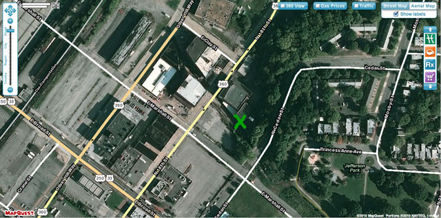
This satellite view shows a closer view of the western end, just northeast of the intersection of E. Marshall Street and N. 18th Street.
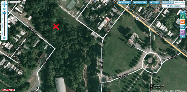
And this view shows the eastern end, in the wooded area north of the intersection of E. Franklin Street and N. 31st Street.
THE WESTERN END
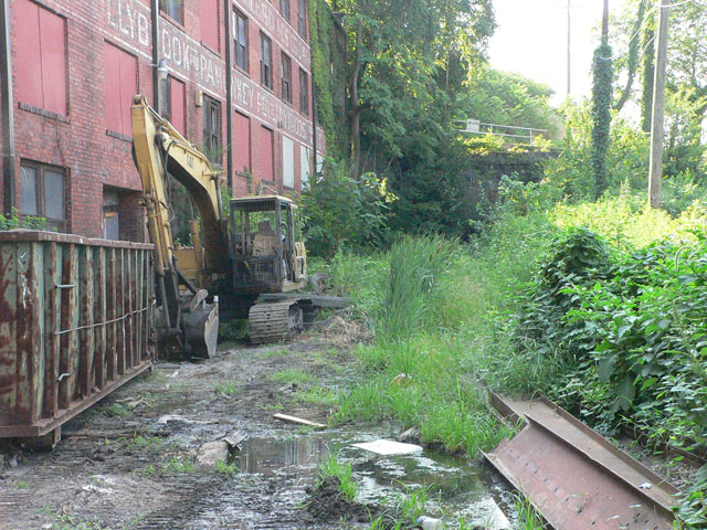
Here we are facing east toward the sealed-off western end of the tunnel, which is in the distance, below the railing. Rather than tackle the boggy, weed-choked direct path, we decided to go up an embankment to the right.
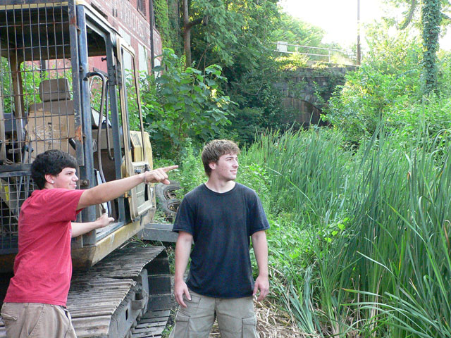
My co-explorers Caleb Carrera and Matthew Pollack point the way.

Looking down from the embankment, we see the western tunnel entrance. In the center is the date "1926", the year it was sealed off, a year after the disaster.
THE EASTERN END

This is the entrance to the eastern end of the tunnel. The rail bed has become a swamp, and the tracks are not visible.
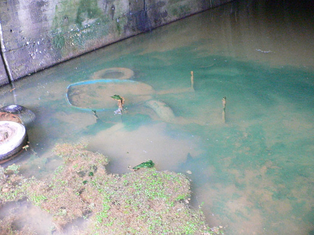
The tunnel is filled with at least a foot of water.
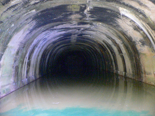
It's also quite dark. In this photo, the sealed-off end of the tunnel is barely visible, about 100 yards in. The echoes were eerie, and I'm still not convinced that we didn't hear a couple of people, or ghosts, at the far end of the tunnel.
THE PIPELINE

While we were downtown, we also visited the pipeline that runs under the railroad viaduct (which replaced the tunnel).
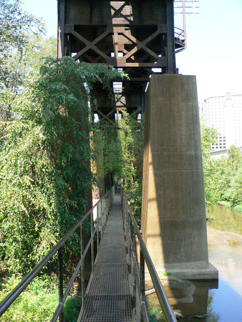
The catwalk on top of the pipeline runs west to Brown's Island.
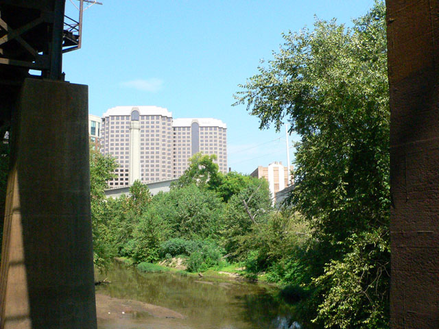
The Riverfront Plaza buildings can be seen from the catwalk.

We turned back to the east end of the catwalk, and exited via a ladder.