Part 1 - Orientation
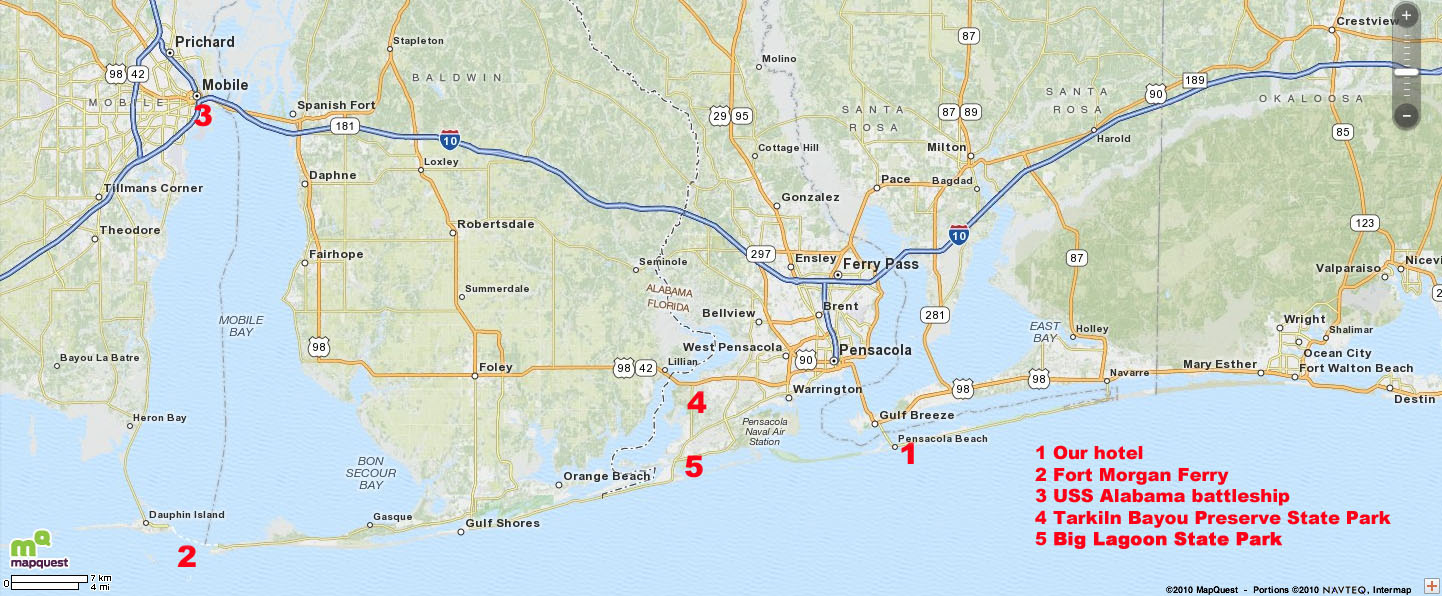
This map shows southeastern Alabama on the left, and the western tip of the Florida panhandle on the right. The state border is the zigzag line down the middle. We spent most of our time in or around Pensacola and Pensacola Beach, but one day we drove west along the coast, took the Fort Morgan Ferry (2), drove north to Mobile, AL (3), and later drove back along I-10.
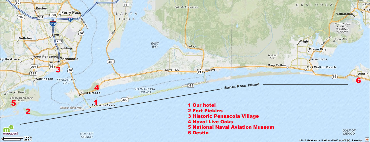
This view zooms in closer, with Pensacola on the left, and the long skinny barrier island, Santa Rosa Island, running almost the width of the map. Our hotel was in Pensacola Beach (1).
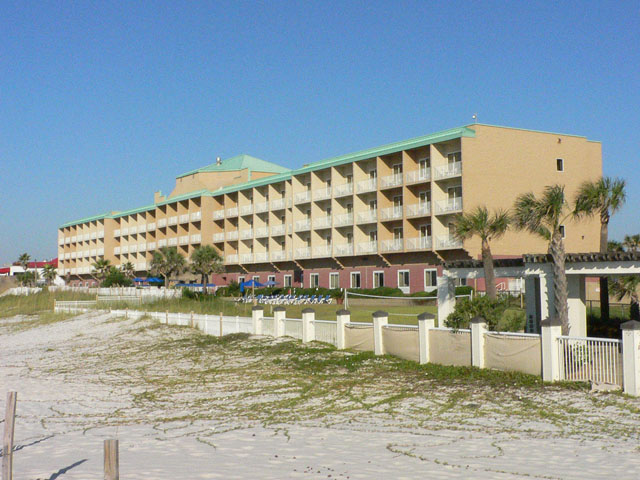
Our hotel, the Hampton Inn.
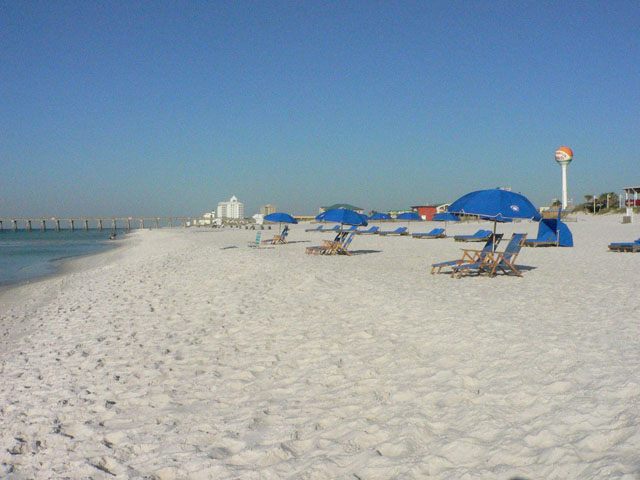
The beach at our hotel.

Karen on our balcony, looking toward the Gulf of Mexico.
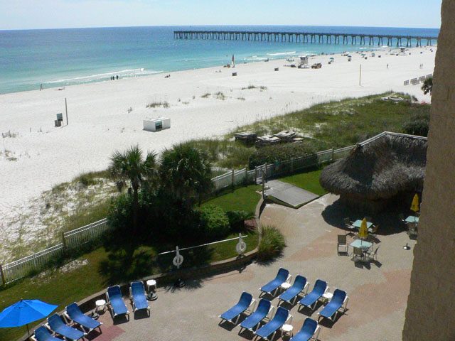
The view from our balcony.